The problem
Soil pH is one of the most critical factors in crop productivity — yet conventional monitoring methods are slow, expensive, and spatially limited. Traditional land analysis costs over €100/ha and produces only sporadic, non-continuous data. Lime broadcasting is uniform and wasteful. Neither approach supports intelligent, field-specific intervention.
Agri-pHLy was designed to solve this: a complete UAV-based system that measures soil pH continuously across a field, maps the variation spatially, and autonomously applies corrective treatment only where needed.
What was built
The system integrates three core engineering layers into a single flight-capable platform:
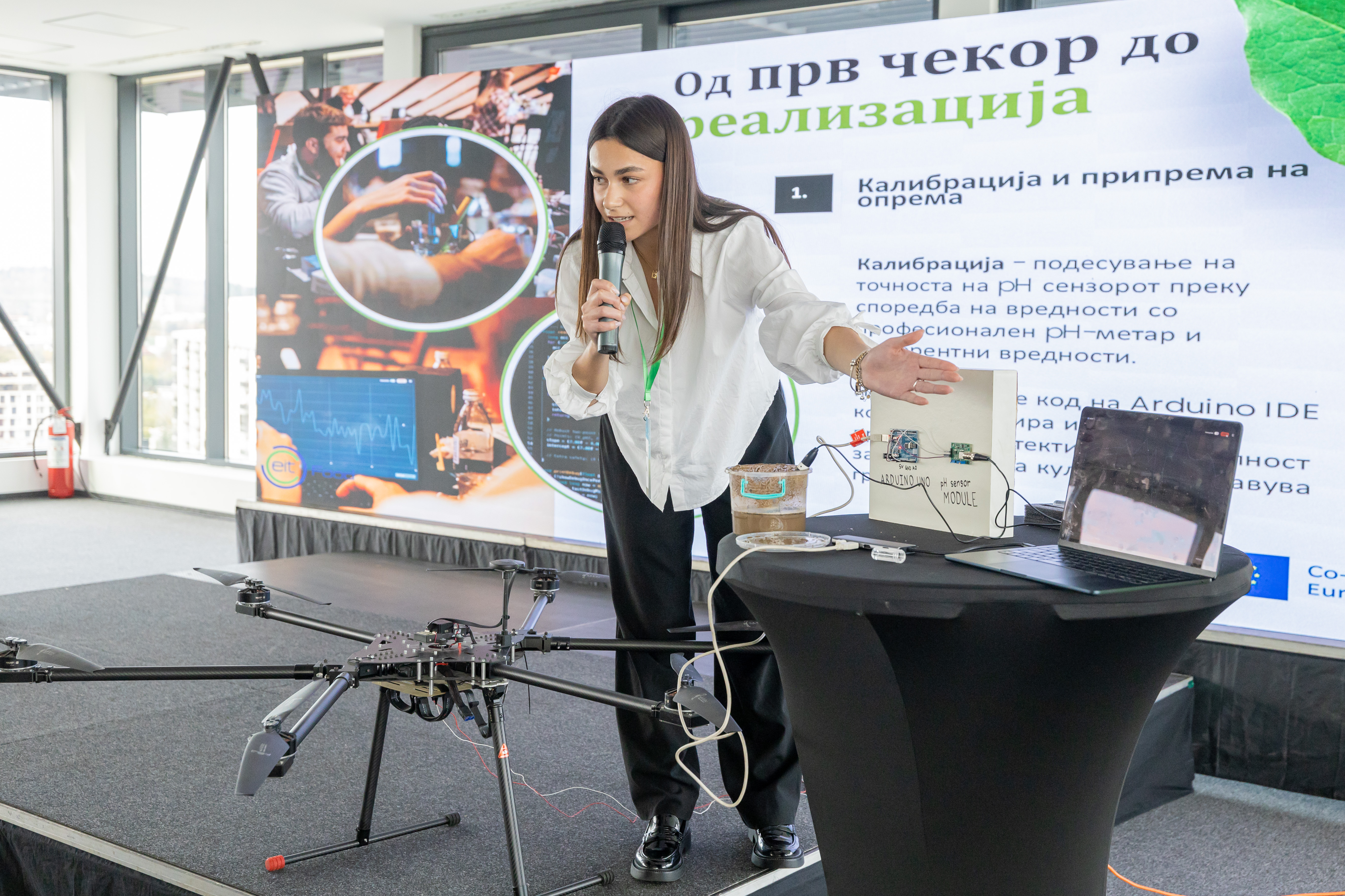
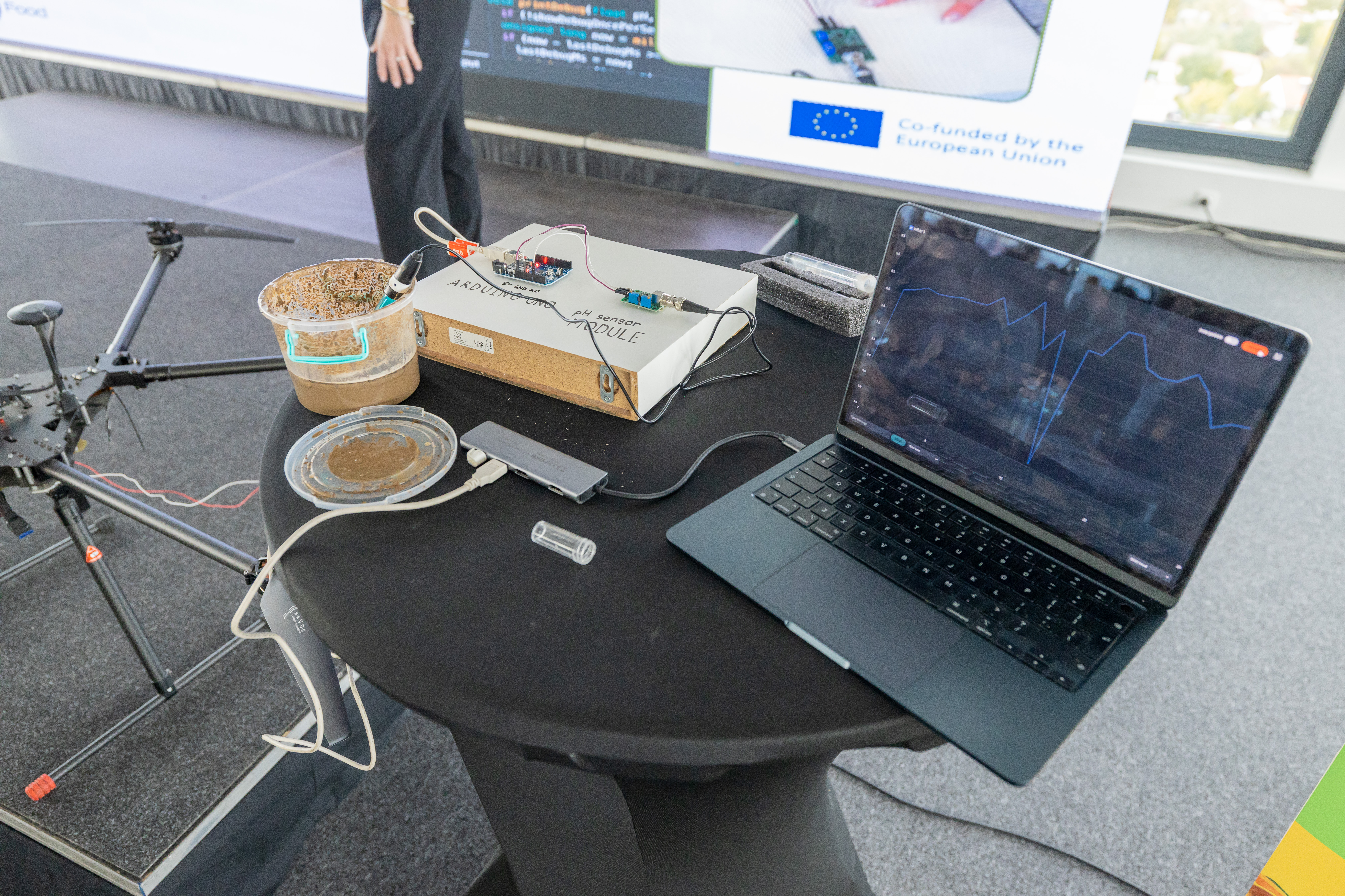
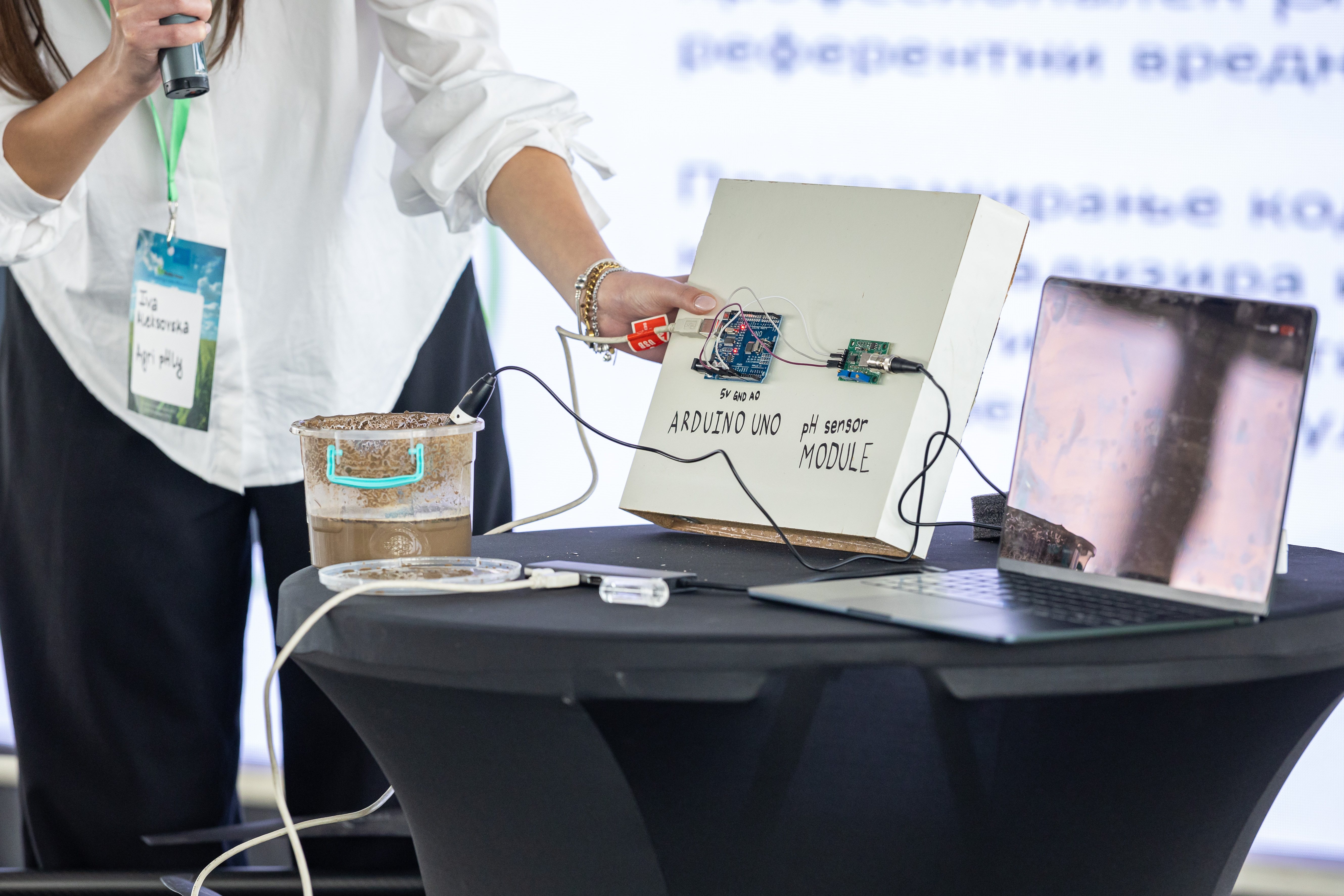
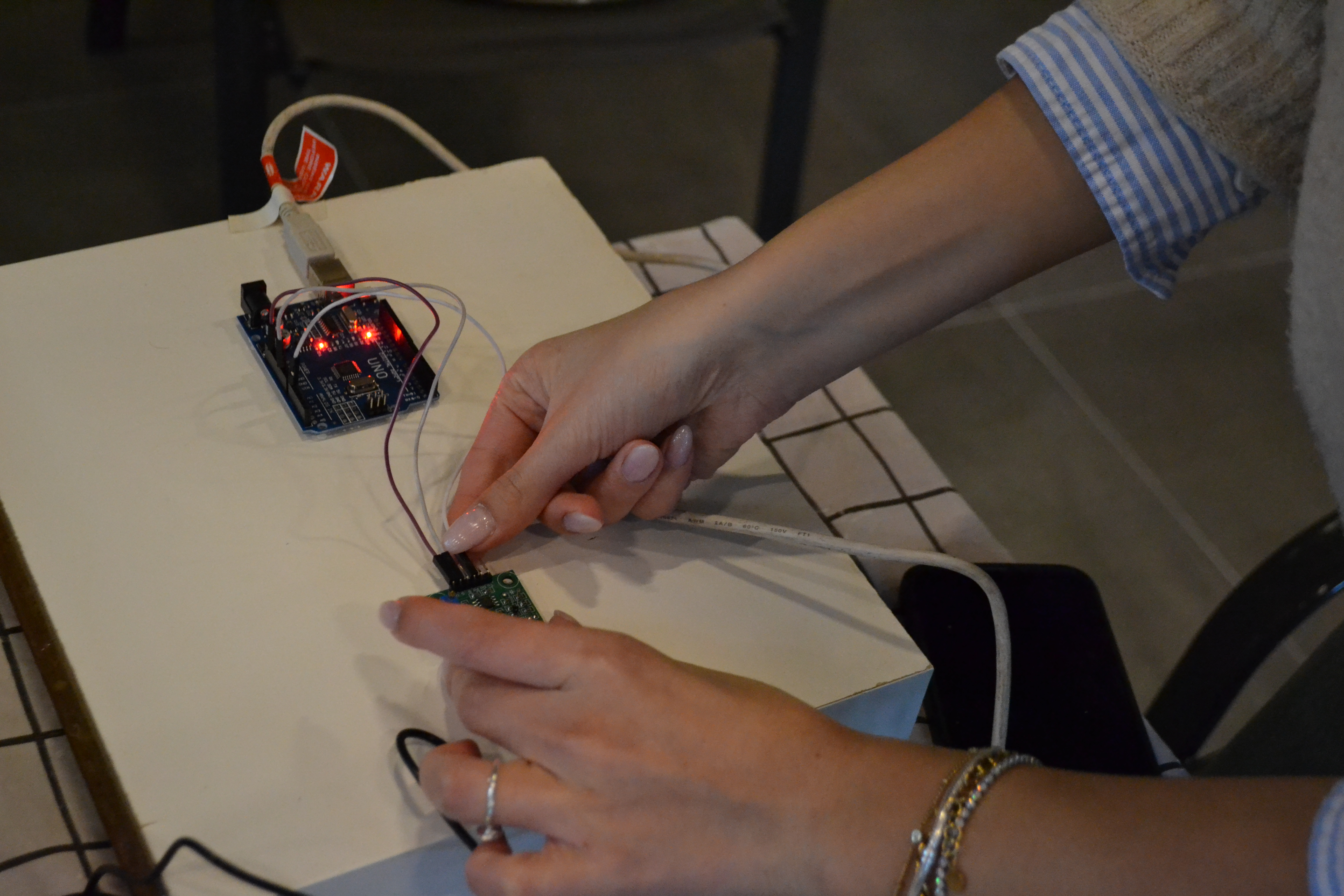
- pH sensing module — Arduino UNO with custom pH sensor integration, calibrated against professional reference instruments to achieve ±0.2 pH accuracy. The probe is mounted to make contact with the soil during low-altitude passes.
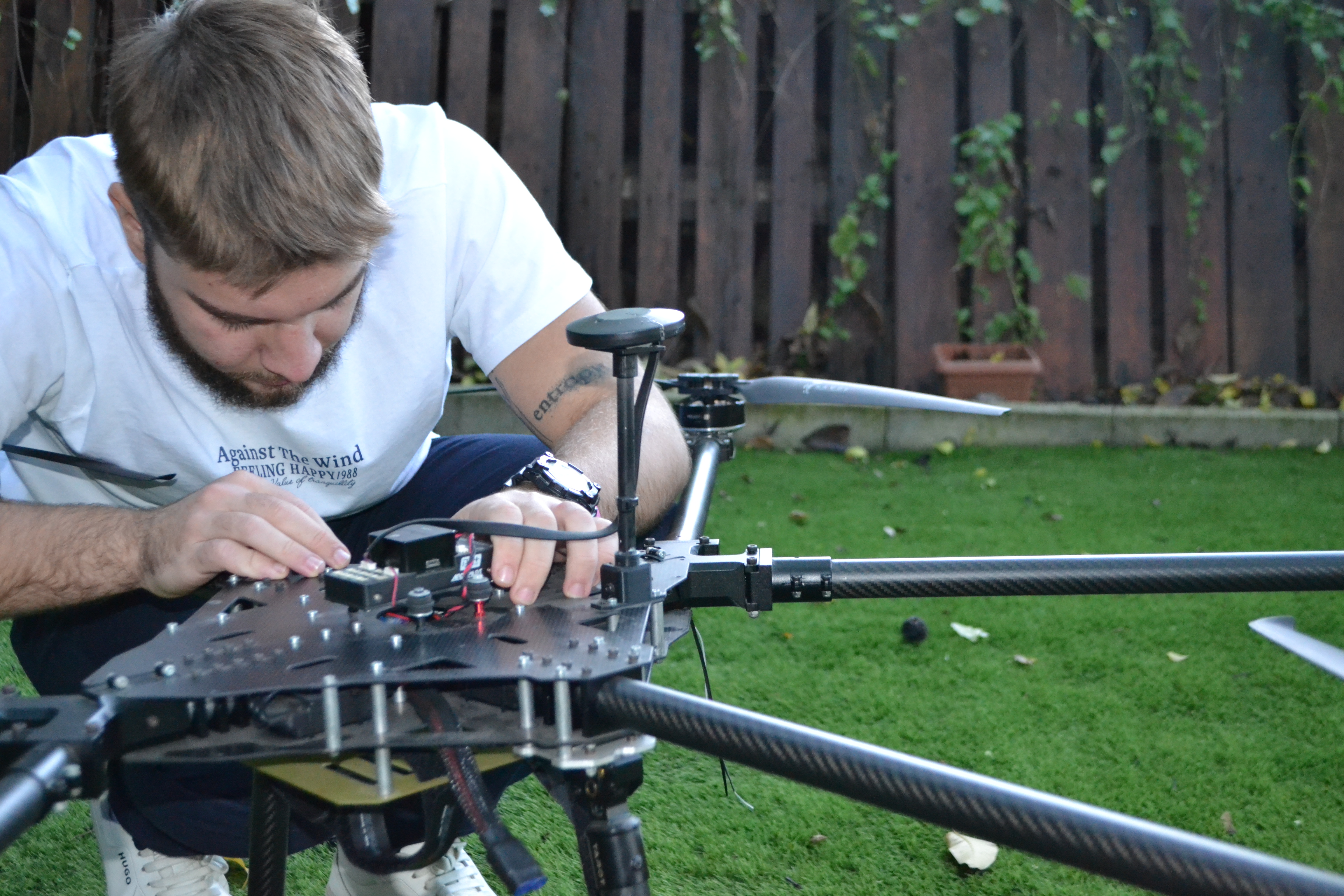
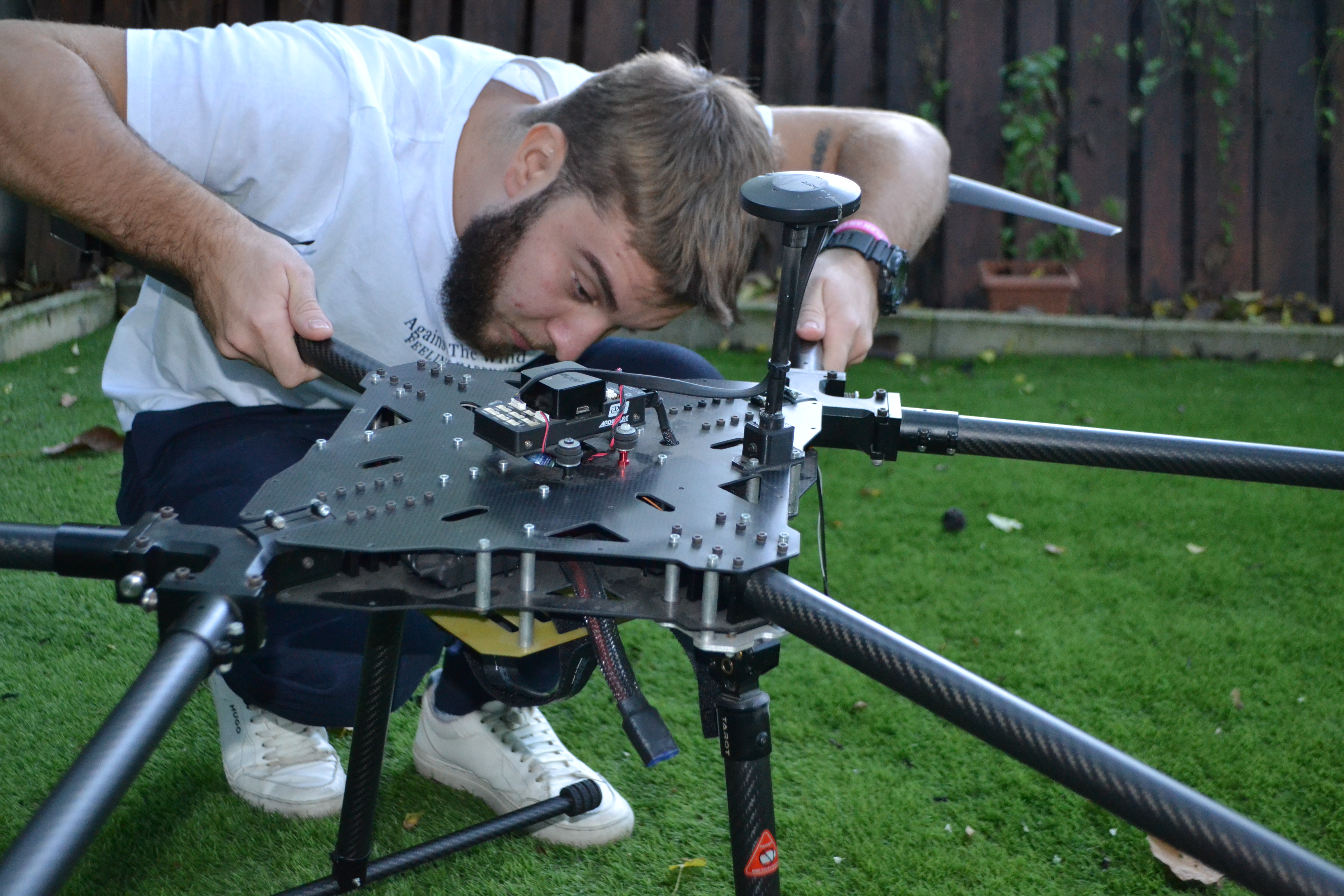
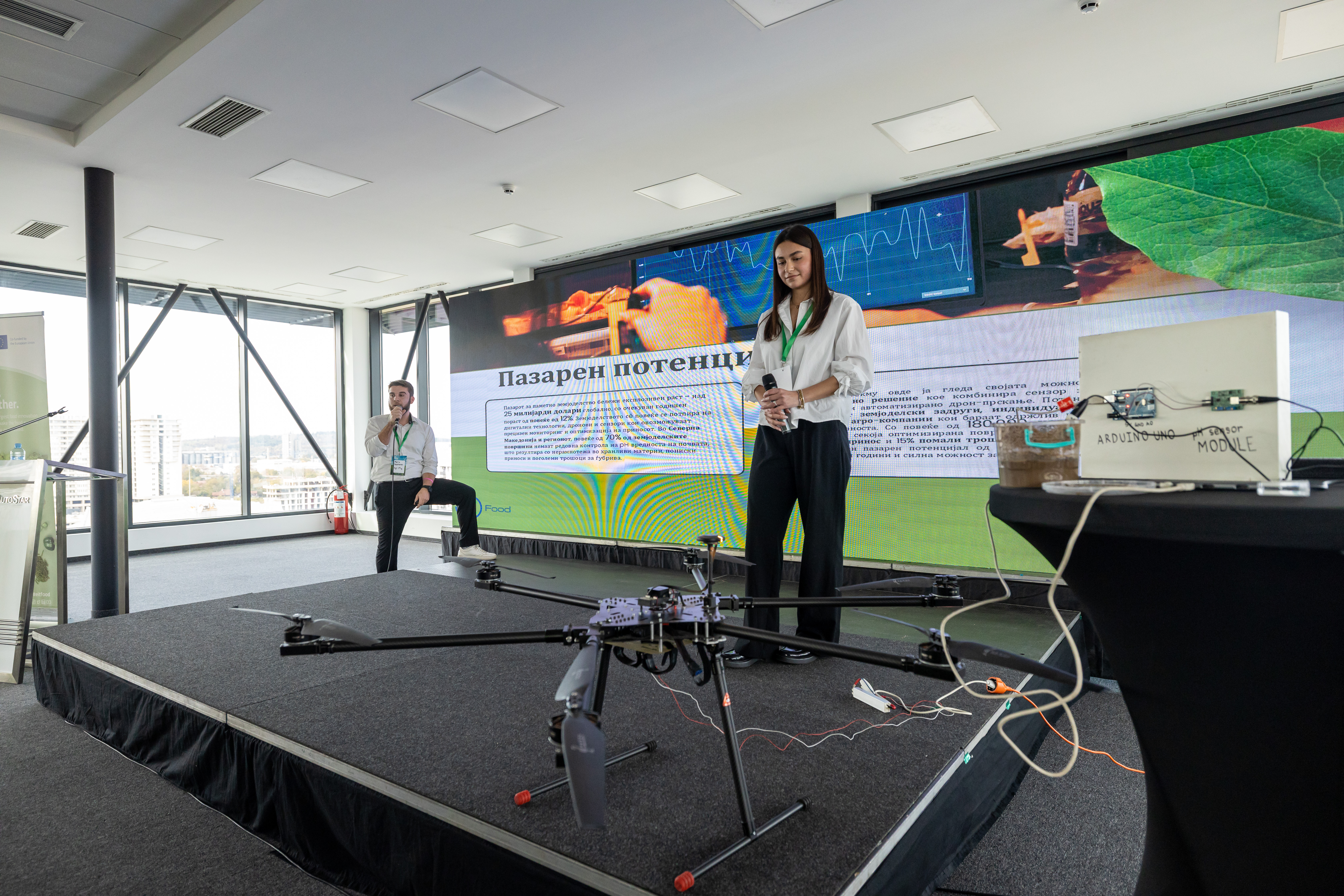
- UAV platform — a custom-built heavy-lift hexacopter designed and assembled from carbon-fibre components, with a custom flight controller stack, GPS/magnetometer fusion for waypoint navigation, and a payload bay for the sensing and lime-application modules.
- Telemetry & ground station — bidirectional 915 MHz LoRa link transmitting real-time pH readings, GPS position, altitude, and battery state to a Python Flask ground station dashboard. Live anomaly detection and post-flight analytics.
- Autonomous flight path optimisation — MATLAB-based path planning algorithm that generates variable-rate application routes based on the pH heatmap, minimising input usage and maximising field coverage efficiency.
The Agri-pHLy team
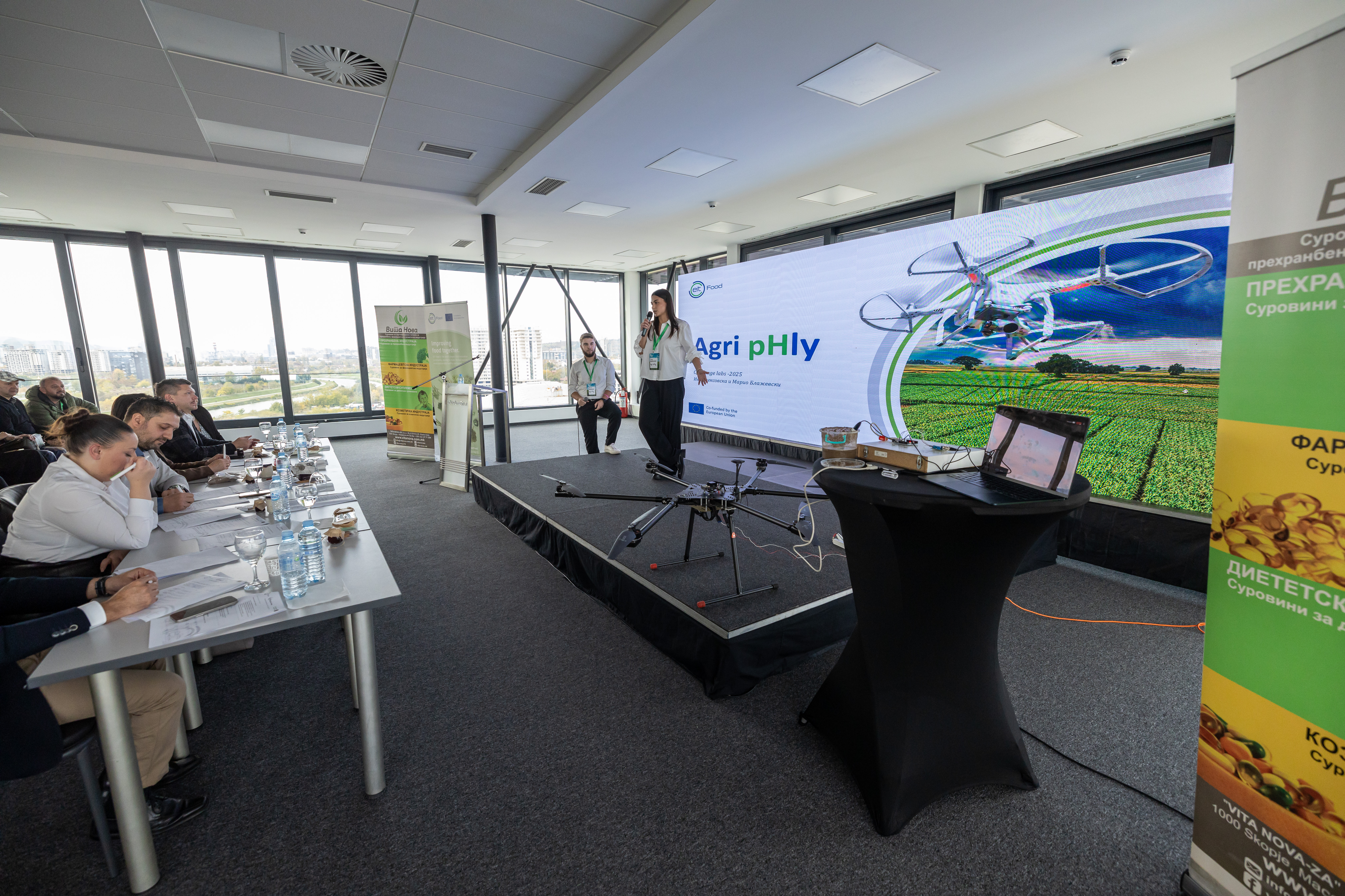
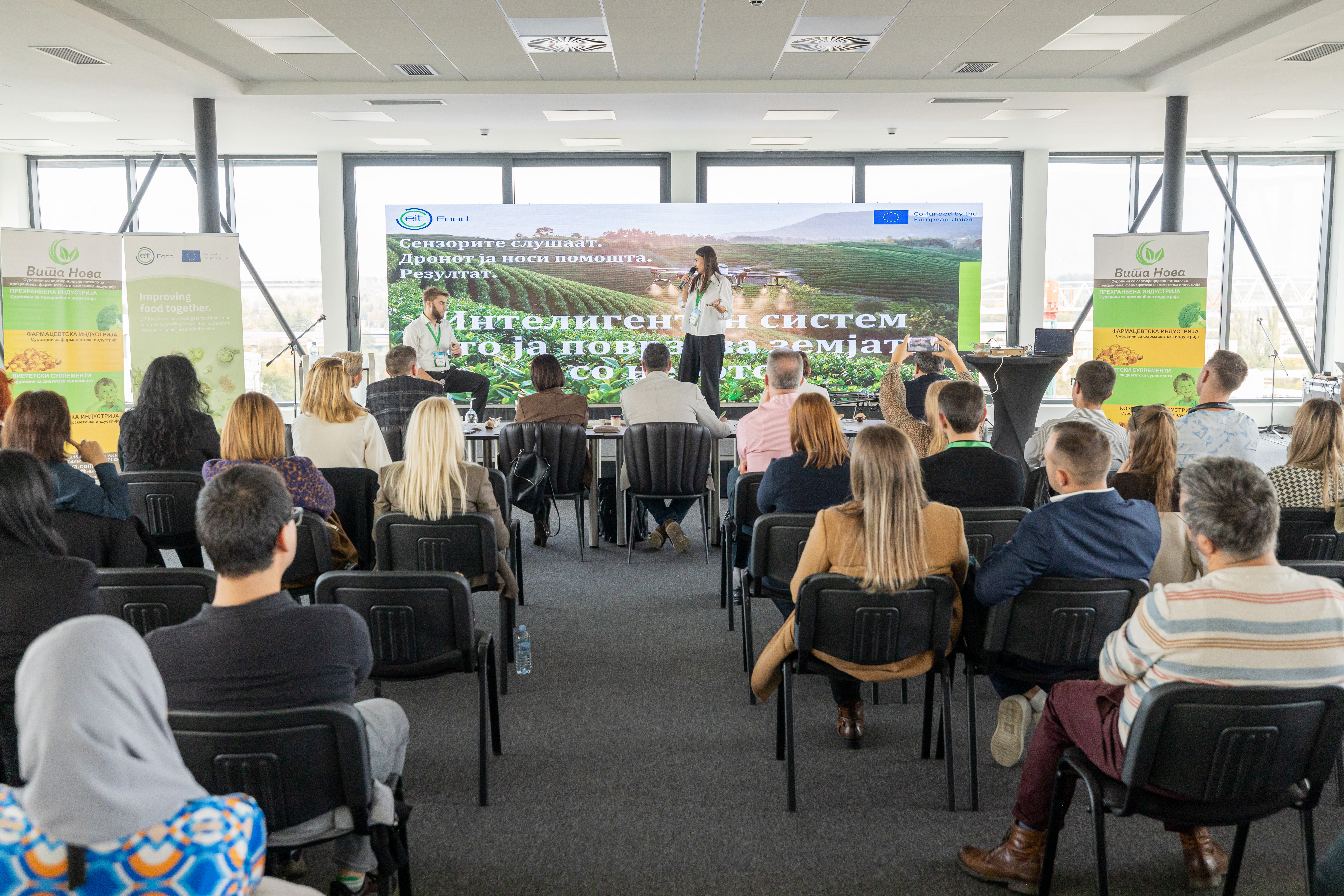
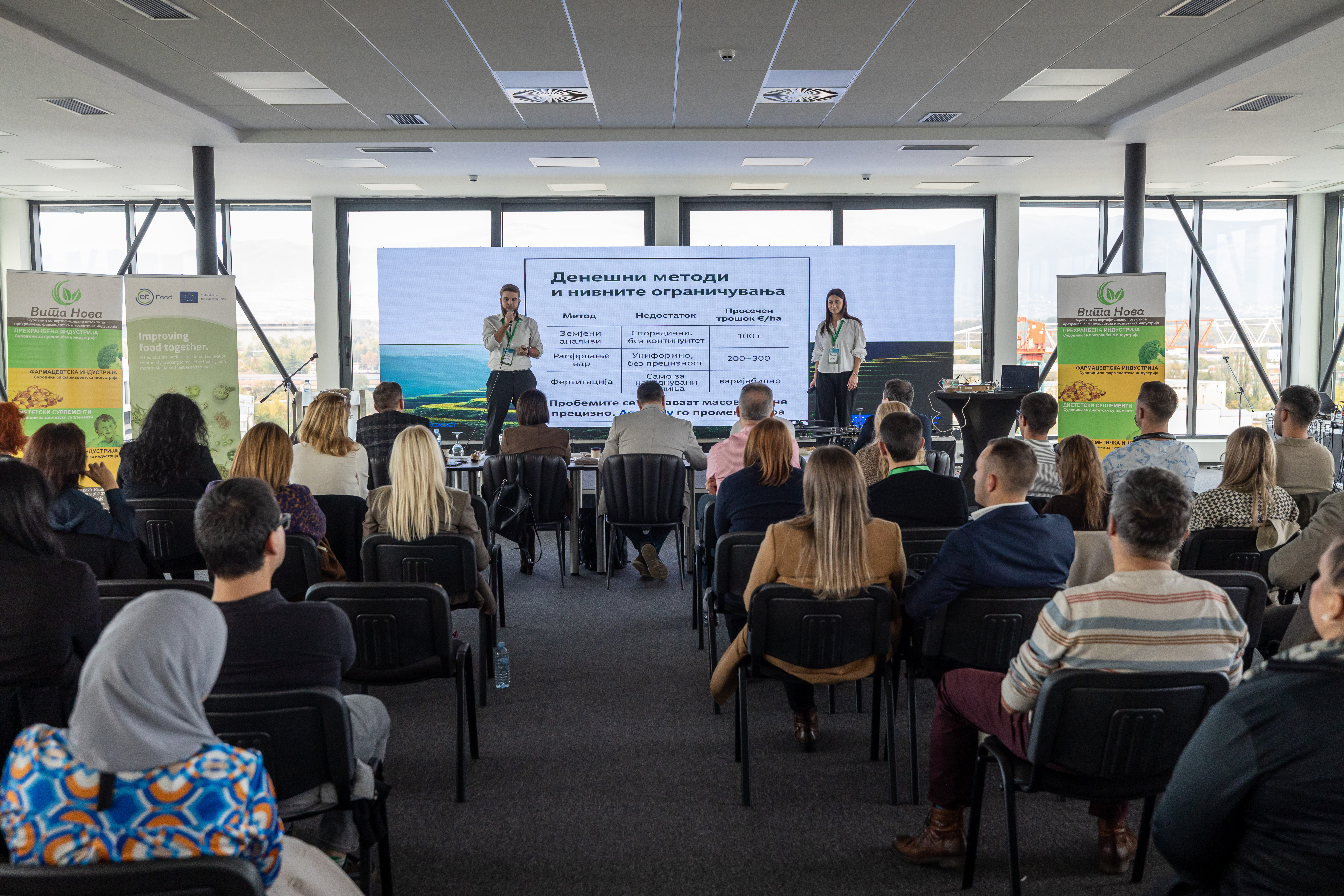
The project was co-developed by Mario Blazevski (engineering lead — UAV design, embedded systems, flight controller, telemetry) and Iva Aleksovska (agronomy and sensor calibration lead), with mentorship from Vita Nova Consulting. The team presented the full working prototype — drone, sensor module, live dashboard, and autonomous path data — at the EIT Food Challenge Labs Macedonia 2025 Demo Day.
EIT Food grant & recognition
Agri-pHLy was selected as one of three winning startups at the EIT Food Challenge Labs Macedonia 2025 competition, organised by Vita Nova Consulting in partnership with EIT Food and co-funded by the European Union. The team was awarded a €500 innovation voucher to accelerate development.
The project is cited on the EIT Food website as a standout example of student-led agri-tech innovation in the Western Balkans region.
Impact
Agri-pHLy is the first UAV-based precision agriculture system demonstrated in North Macedonia — establishing a proof of concept for data-driven, variable-rate soil amendment that reduces input costs by an estimated 20–40% compared to uniform application methods while improving crop yield consistency.